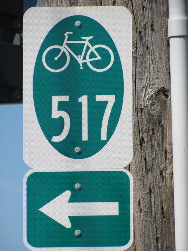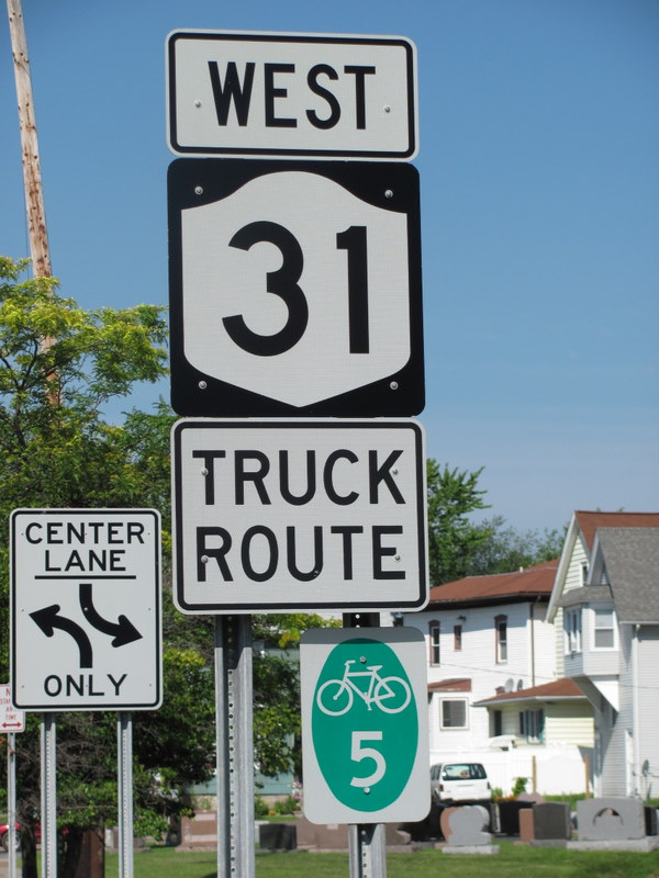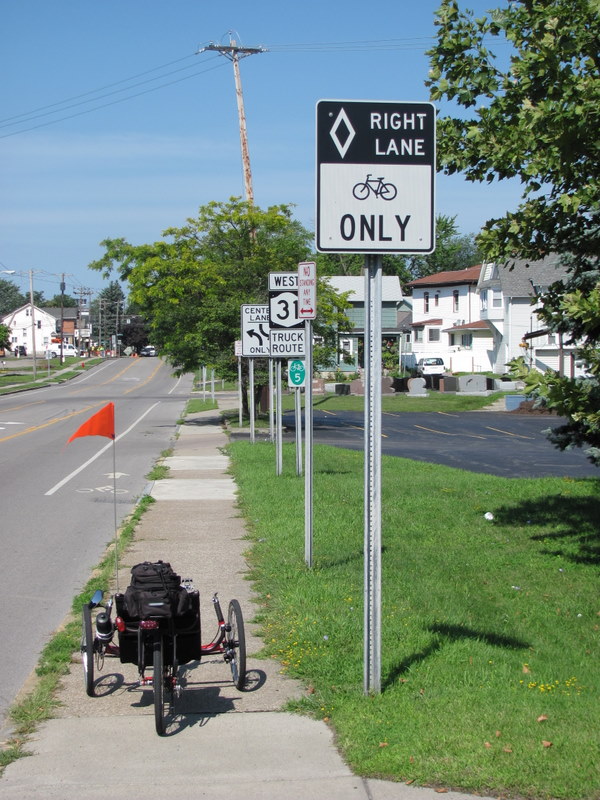

What are these signs? I can see they are some kind of bike route, but who put them there? Where can I find out more about them. Are there maps showing the routes somewhere?
Both of these signs are within two blocks of my home. I’m not surprised to know a bike route has been planned there, after all, it is the historic Erie Canal. The Adventure Cycling Association’s Northern Tier Route comes through here as does the NY Erie Canal Bikeway.
But, I see these little green signs all over the place, and no one seems to pay them any attention or know their significance.


Well, I found out a bit more about these. If you go to this web site (which I’ve shortened because of it’s being buried within some state website) http://tinyurl.com/nybikeroute you’ll find out about routes 5, 17 and 9. No clue about 517 which I saw above.
My best guess is that 517 is a north-south route that takes you from the 5 route to the 17 route but I can’t find any mention of it or a map.
There are maps of the three listed routes, but they aren’t very good and they all appear to follow regular roads. For instance, BR 5 is named that because it parallels NY Route 5, but for most of it I saw, it was actually on Route 31. Anyone who has ridden Route 31 knows what a miserable experience that is.
I guess there has been special attention to the shoulders and special markings added to these routes, which is nice, but I’d rather see all roads kept up to par and skip the special markings. The trouble with markings is, some drivers see them as a “bicycle ghetto” and expect all cyclists to use only those areas and leave everything else to the automobiles.
I had a driver shout out to me the other day; “You know your not a car” because I wasn’t all the way to the right against the curb. The right lane was a right-turn-only lane and I was going straight. I was exactly where the law and commons sense said I should be: in the second lane that was going straight. I just told the driver that as far as NY Vehicle & Traffic Law was concerned, I was just like a car. Hey, I pay my taxes too.
Anyway, apparently someone created this Bike Route 517 and went to a lot of trouble to put up the signs, then forgot to let anyone know about it. Probably ran out of money with the state budget crisis.
I think that you are right.
Have you seen the bike map they have at the Greater Buffalo-Niagara Regional Transportation Council site?
http://gbnrtc.org/
At the home page, click on Maps and then the bike maps there (front and back) – I’m betting you can request a paper copy from them if you wanted…
Anyway, they do show the Bike Route 5 there, but I didn’t see the Bike Route 517.
P.S. – You might get a kick out of the fact that in 2009, the state had $200,000 install signs for bike route 517 in Erie, Niagara and Chautauqua counties…
http://www.state.ny.us/governor/press/press_07240912.html
🙂
Thanks for confirming what I thought. I had seen the Greater Buffalo Niagara Regional …blah, blah… site.
Just what we need, another Buffalo-Niagara group. It really ticks me off when they lump Niagara County in with Buffalo!
But it looks like it is as I suspected, they spent the money on the new signs, and maybe swept the glass off the shoulders once, and then quit when the money dried up.
No maps or even information on the web, and who chooses these routes anyway. I noticed more of the 517 signs today on Transit Road and Millersport Highway, two of the worst places I would want to encourage people to ride a bike. Imagine what someone from outside WNY will think of our area after getting honked at and blown off the road on these raceways!
Oh, I’ve ridden them myself, but there are much better, less-congested, roads that could be used. Ones where the cyclist isn’t relegated to the bike-ghetto, I mean, bike lane or shoulder…